portfolio
biography
press
news
publications
contact
<<<
>>>
18 of 35
SHORT STORY
Statement
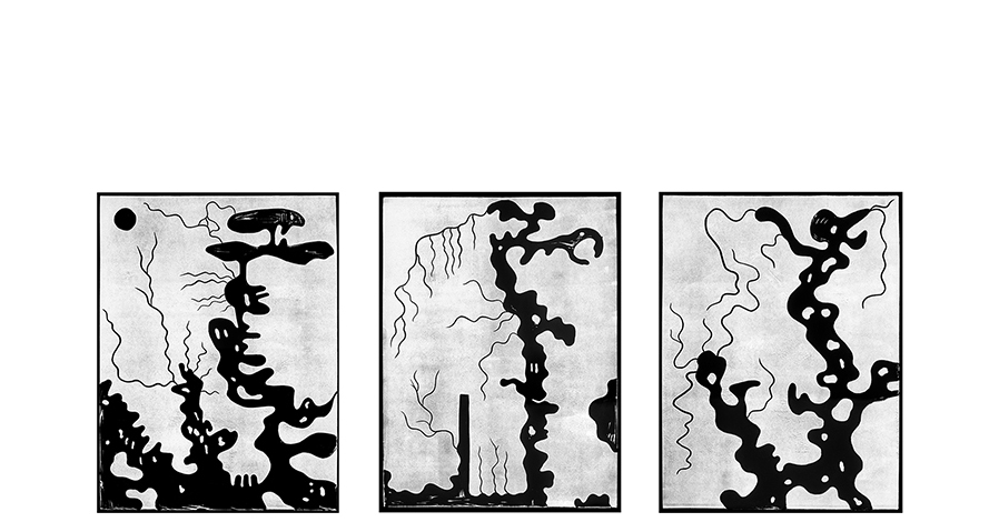
Map #4. Linoleum cut, photogravure, triptych
Abstracted 17th century maps, representing borders between Croatia and neighboring countries.
< div class="statcounter">